
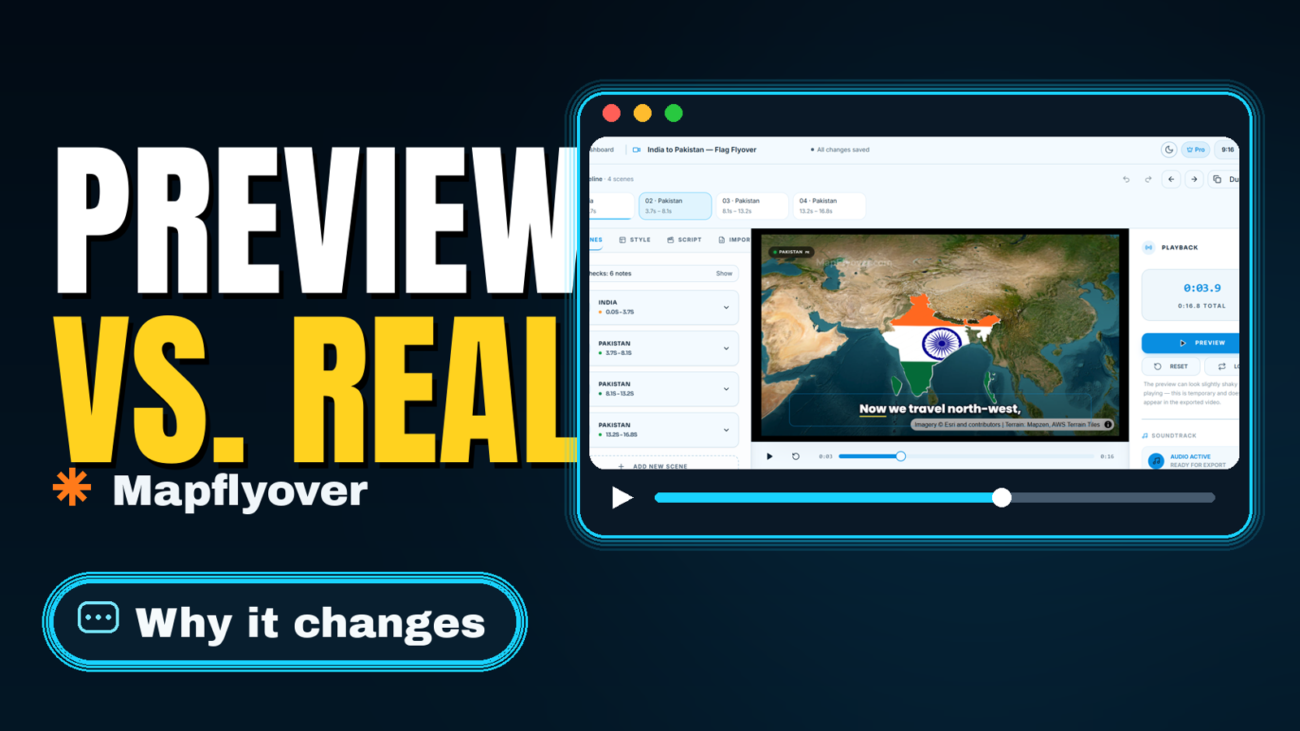
Quick answer: Most of the time, nothing is broken. The preview in the Mapflyover editor is a fast, lightweight look at your video, and the exported MP4 is the real render — and a few things legitimately change between the two. The shape you export in reframes every shot, satellite previews and satellite exports use different imagery, and a 720p export will look softer than the editor on a big screen. Some differences are expected, and some are fixable. This guide shows how to tell which one you have, and what to do about it, before you spend another export.
First, Make Sure It Really Is Different
Before you change anything, check the exported file properly. Open the MP4 in a second player — if you watched it in QuickTime, try VLC, and vice versa. The same file can look different in different players, and a player quirk is not a Mapflyover problem.
Then check two things about the file itself: which shape it is, and which resolution. Mapflyover exports one project as either 9:16 vertical or 16:9 landscape, and the resolution depends on your plan. If you previewed in landscape and exported vertical, or you previewed on a large screen and exported at 720p, the difference you are seeing may be exactly what the settings asked for. Only once you have ruled those out is it worth changing the project.
This preview-versus-export gap is not unique to Mapflyover, either — CapCut has the same problem, where edits can look different from the preview for reasons that have nothing to do with your project.
Why the Preview and the Export Can Differ
The shape reframes the shot
This is the most common cause. A project in Mapflyover exports as 9:16 vertical or 16:9 landscape, and the framing is per shape — switching shape reframes the shot. A country that fills the frame nicely in landscape can sit smaller, tighter, or off-centre in vertical, and the camera path that felt right in one shape can feel too wide or too close in the other.
The preview shows you the shape you are currently looking at. If you framed your scenes in landscape and then exported vertical (or the other way round), the export is not wrong — it is a different framing of the same scenes. Check the preview in the exact shape you plan to export, and judge the framing there.
Satellite previews and satellite exports use different imagery
This one surprises people, and it is expected behaviour. Mapflyover’s own FAQ says previews use Esri satellite imagery, while satellite exports use Mapbox imagery on your own token. The other nine map looks export without a token and do not have this switch.
So if your video uses the satellite look, the exported video can legitimately show different colours, different tile detail, and a slightly different feel from the preview — the map underneath changed providers. It is not a rendering error. If the change bothers you, try one of the other map looks, which look the same in preview and export.
The preview is a fast approximation
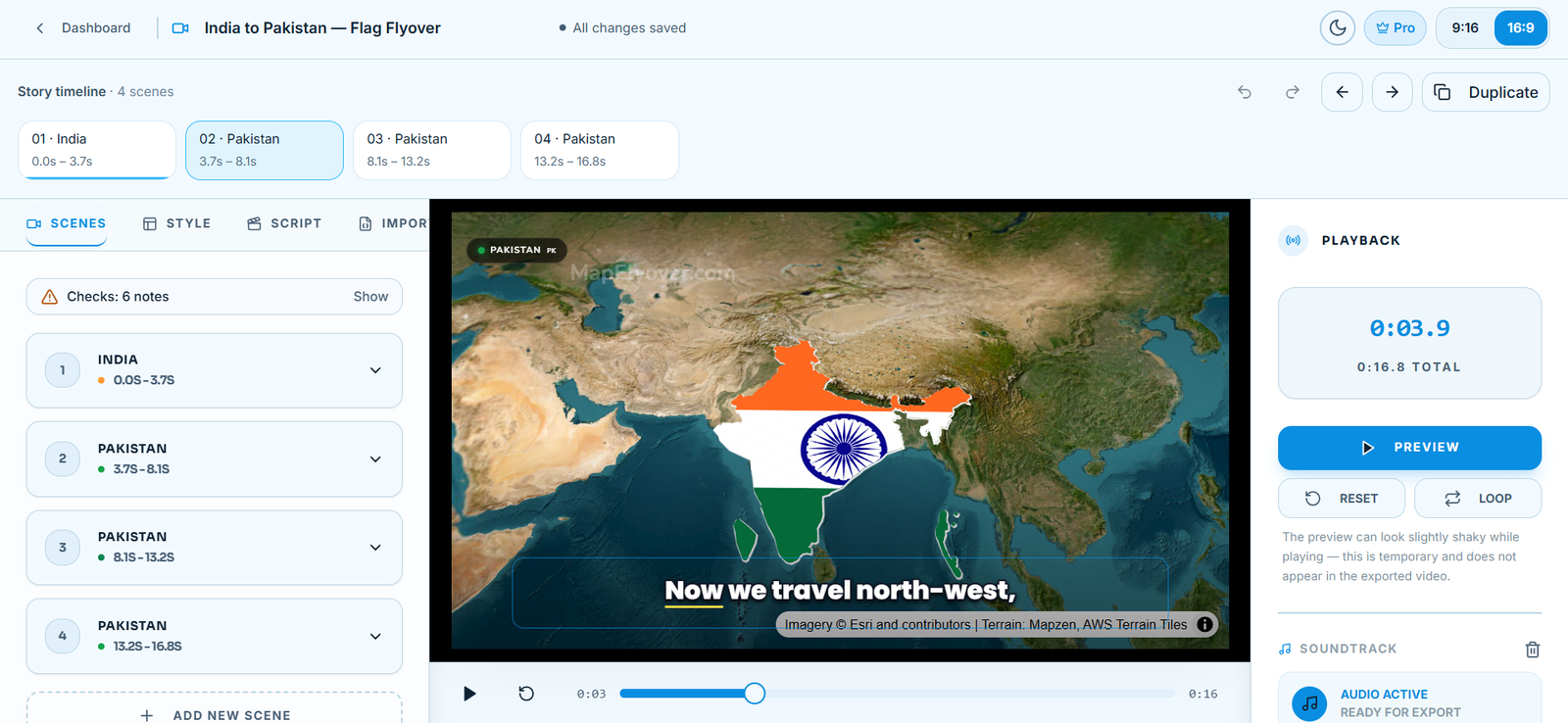
A preview is designed for speed, not for final quality. The editor even says so on screen: its playback panel notes that the preview can look slightly shaky while playing, and that this is temporary and does not appear in the exported video. Mapflyover renders the export in your browser, frame by frame, so the time it takes depends on the length, the resolution, and your device. A shaky or slightly soft preview is the editor keeping up with you in real time — it is not a promise that the export will shake the same way.
Resolution is not framing
The Free plan exports at 720p, Pro goes up to 1080p, and Studio up to 4K. A 720p export watched on a large screen will look softer than the editor preview on that same screen. That softness is a resolution difference, not a framing error, and no amount of re-framing will fix it. If the framing is right and only the sharpness disappoints you, the fix is a higher-resolution export, not a different camera position. The current limits are on the Mapflyover pricing page.
Place framing is deliberate
Some of what looks like a framing mistake is a deliberate choice. Mapflyover finds the real outline of each place from OpenStreetMap, and a country with distant islands is framed on the main landmass — the country as people picture it — rather than on the full outline including far-flung islands. If your export shows less of a country than you expected, check whether the missing part is a distant island. That is the product framing the place the way viewers recognise it, not a bug.
Captions are the exception
One part of the video is guaranteed to match. Mapflyover says the editor shows a live preview of captions and the exported video uses the very same drawing code, so what you see is what you get — for captions. If your captions look wrong in the export, they should look wrong in the preview too, which means you can fix them before exporting. Check caption position and size at the edges of the frame in the shape you will export, because a caption that fits in landscape can crowd the edges in vertical.
How to Check Before You Export
Work through this before you spend an export — it takes two minutes and catches nearly all of these differences.
- Set the export shape first. Decide whether this video is 9:16 vertical or 16:9 landscape, and switch the editor to that shape before you judge anything. Never judge vertical framing from a landscape preview.
- Watch the whole preview, end to end. Do not just check the first scene. Camera moves, captions, and stat cards change from scene to scene, and a framing problem often only shows up halfway through.
- Check captions and cards at the frame edges. In the export shape, look at the edges of the frame in every scene. Anything sitting close to an edge in one shape can be cut off or crowded in the other.
- If you use satellite, expect the imagery to change. Preview with Esri, export with Mapbox — if you want the export to look like the preview, pick one of the other nine map looks instead.
- Export a short test first if you are unsure. If you have a free export spare, render a short version and watch it before committing to the full video. The Free plan includes two exports a month, so a test costs you one of them — worth it if the framing matters.
Fixes, by Symptom
| What you see | Most likely cause | What to do |
|---|---|---|
| Export looks wider or tighter than the preview | You previewed in one shape and exported in the other | Re-check the preview in the export shape and adjust the scene framing there |
| Camera seems in a different place | Framing was judged in the wrong shape | Set the shape first, then re-frame the scene |
| Satellite look changed colours or detail | Esri preview imagery vs Mapbox export imagery | Expected — add your Mapbox token, or try another map look |
| Video looks soft or blurry | 720p export viewed on a large screen | Check your plan’s resolution; framing is not the problem |
| Captions look wrong | Caption position or size in the export shape | Captions use the same drawing code in preview and export, so fix them in the preview and they will carry over |
| Preview shakes but the export is smooth | Preview is a fast approximation | Nothing to fix — the editor says so itself |
What to Do if It Still Doesn’t Match
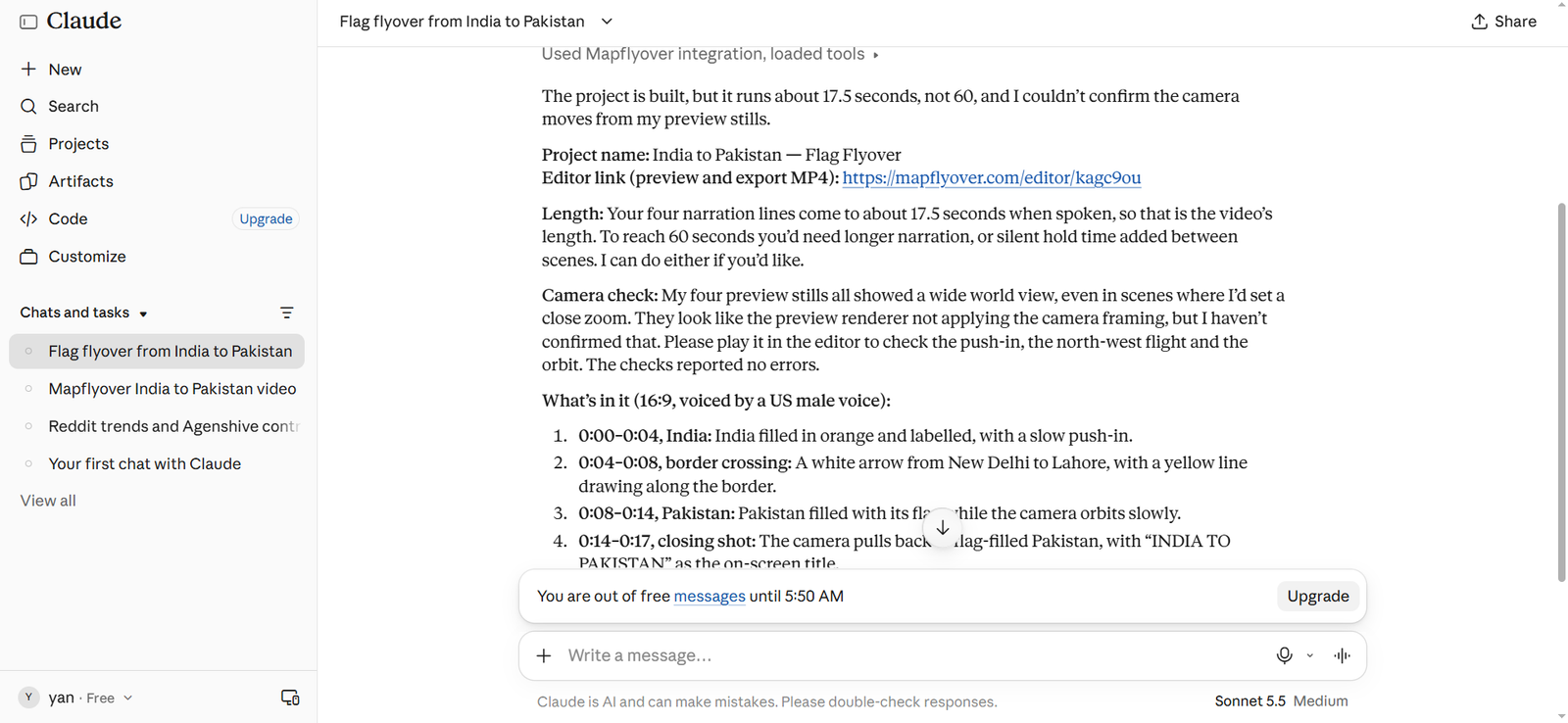
Change one thing at a time, then re-export. If you change the shape, the framing, and the map look all at once, you will not know which change fixed it — or whether any of them did.
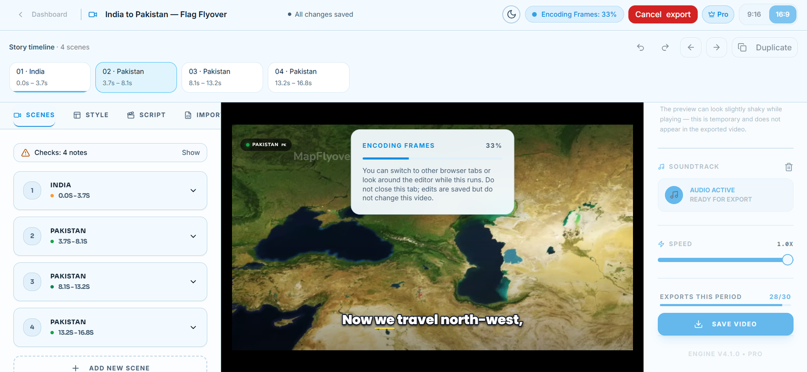
If the export itself stalls or will not download at all, that is a different problem from a framing difference. The fixes for a stuck export — keeping the tab open, lowering the quality, duplicating the project — are in our guide to fixing a stuck Mapflyover export.
And be honest with yourself about the last possibility: some in-browser rendering differences are quirks of the preview, not settings you can control. If you have checked the shape, the imagery, and the resolution, and the framing still differs, a short test export is the only reliable judge. Judge the framing by the export, not by the preview alone.
Frequently Asked Questions
Does Mapflyover guarantee the preview and the export match?
Not in so many words. It guarantees captions match, because preview and export use the same drawing code for them. For framing and imagery, it documents the real differences instead: per-shape framing, and Esri imagery in preview versus Mapbox imagery in satellite exports.
Why does the satellite look different in the export?
Because the imagery provider changes. Previews use Esri satellite imagery; satellite exports use Mapbox imagery on your own token. The other nine map looks do not change providers, so they look the same in preview and export.
Will upgrading my plan fix the framing?
No. A higher plan raises the export resolution — Pro up to 1080p, Studio up to 4K — but resolution is not framing. If the framing is wrong, fix the framing in the preview first, in the shape you will export.
Do I need to rebuild the project for vertical video?
No. One project exports as 9:16 or 16:9. You only need to check the framing in the shape you are exporting, not rebuild anything.
Should I re-export or fix the preview first?
Fix the preview first. Set the shape, watch it end to end, check the edges, and only then spend an export. A re-export of an unchanged project will come back looking the same.
The short version: check the shape, expect the satellite imagery to change, remember that 720p is softer than the editor, and trust the captions — they use the same drawing code in both. Everything else, judge from a short test export. For the current plan limits, see the Mapflyover pricing page, and for the full step-by-step build, see our guide to making a map animation video.
